Autocross Locations

Devens Airfield
Ayer, MA
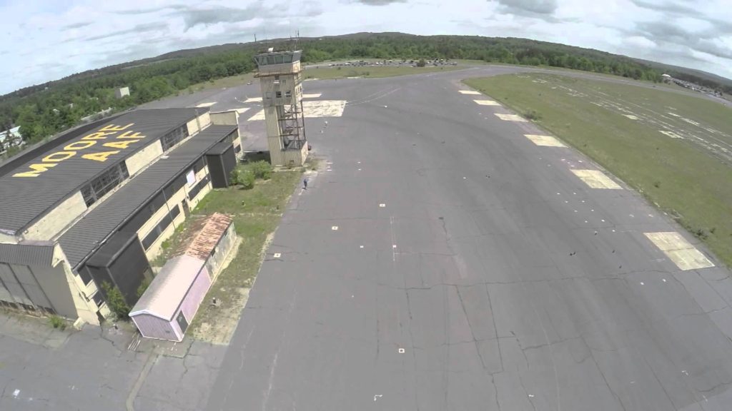
Event are held at Moore Airfield on Route 2A which is separate from the main Army base. The address in google maps is 90 Fitchburg Rd. Ayer MA.
From 128
Take Route 2 West. After you go under Route 495, travel another 3.6 miles. Take Route 111 North for 2 miles. At the rotary, take Route 2A West toward Ayer. Stay on 2A as it turns right in downtown Ayer. After the right turn stay on Route 2A by bearing left at the fork. After the strip of stores, the entrance gate will be on your left after crossing the railway lines. You’ll pass a sentry gate at the entrance to the Moore Airfield. Take the left fork and go up the hill towards the airport tower.
From 495
Take Route 2A West for 7 miles into Ayer. Stay on 2A as it turns right in downtown Ayer. After the right turn stay on Route 2A by bearing left at the fork. After the strip of stores, the entrance gate will be on your left after crossing the railway lines. You’ll pass a sentry gate at the entrance to the Moore Airfield. Take the left fork and go up the hill towards the airport tower.
The GPS address is 90 Fitchburg Rd. Ayer MA
Please drive courteously in and around Ft. Devens as the site is precious to us and we want to maintain the best relations with those who live nearby. Note that the speed limit changes 7 times in the last 2.5 miles as you approach the site (as per the map below) so drive appropriately!

